Meghalaya
Meghalaya meaning "abode of clouds"; is a state in northeastern India. Meghalaya was formed by carving out two districts from the state of Assam: the United Khasi Hills and Jaintia Hills, and the Garo Hills on 21 January 1972. Meghalaya was previously part of Assam, but on 21 January 1972, the districts of Khasi, Garo and Jaintia hills became the new state of Meghalaya. The population of Meghalaya as of 2016 is estimated to be 3,211,474. Meghalaya covers an area of approximately 22,430 square kilometres, with a length-to-breadth ratio of about 3:1
Overall Deployment Summary
Site
100% Completed

Space

Electrical

Internet

Oxygen
Equipment
100% Completed

Ordered

Delivered

Installed

Staff Trained
Technology
100% Completed

IT Staff Trained

Hospital Registration

In-Patient Treatment

Tele-ICU Live
Project Management Unit
A Project Management Unit, PMU, is set up at the state level. The PMU is responsible for planning, administering, and supervising the implementation of the Project. The PMU consist of senior officials from the Government and the 10BedICU partners.
Dr. Joram Beda, IAS
Commissioner & Secretary, Health and Family Welfare Dept. Govt. of Meghalaya

Dr Ebenezer War
Joint Director DHS (MI)
Dr Duiatra Pde
Sr Specialist Pediatrics, Ganesh Das Got, MCH Hospital

Dr. K Marbaniang
Sr Specialist Medicine CHS
Dr. Keshav Sharma
UNICEF Consultant
Shri R.A Wanniang
Executive Engineer, Health Engineering Wing
Shri Kyrshan Dhar
Health System Strengthening Coordinator, NHM, Meghalaya
Shri Mac G L Nongpiur
State MCTS Coordinator,National Health Mission, Meghalaya

Sri. Srikanth Nadhamuni
managing trustee, egov
Dr Sudarshan
Founder, Vivekananda Girijana Kalyana Kendra and Karuna Trust

Bisoya Loitongbam
Program Implementation director, 10bedicu
Classroom X Webflow Template
Presenting Classroom X, the ultimate University Webflow Template.


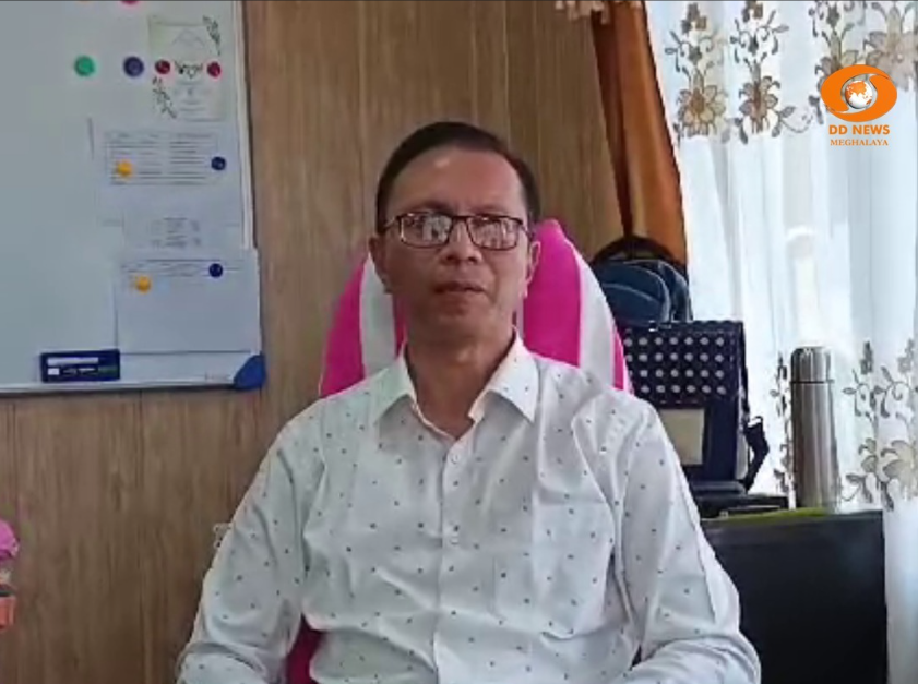
Hear from State Representatives
Our progress wouldn’t be possible without the unwavering support of state leaders. Their partnership has been key to bringing 10BedICU to fruition.
I'm proud to support the 10BedICU initiative in Sikkim—bringing advanced critical care to our remotest regions. This partnership strengthens our healthcare system and ensures every Sikkimese person, regardless of income or location, can access lifesaving treatment.
The 10BedICU project is a transformative initiative leveraging digital technology to enhance critical care access in rural India - like Aadhaar, UPI, and other Digital Public Goods. It strenghtens public healthcare infrastructure through a collaborative public-private partnership.
The 10BedICU project is a transformative initiative leveraging digital technology to enhance critical care access in rural India - like Aadhaar, UPI, and other Digital Public Goods. It strenghtens public healthcare infrastructure through a collaborative public-private partnership.
The 10BedICU project is a transformative initiative leveraging digital technology to enhance critical care access in rural India - like Aadhaar, UPI, and other Digital Public Goods. It strenghtens public healthcare infrastructure through a collaborative public-private partnership.
Hear from our state coordinators
The 10BedICU project is a transformative initiative leveraging digital technology to enhance critical care access in rural India - like Aadhaar, UPI, and other Digital Public Goods. It strenghtens public healthcare infrastructure through a collaborative public-private partnership.
Great work by @10BedICU in putting 200+ tele-ICUs in remote districts in India, all operational and connected to 11 regional expertise centers or "hubs" for people who had no access to an ICU during COVID. Now they can permanently have ICU access. Goal is to get to all 700 districts of India.
Open Healthcare Network (run by 10BedICU) born on Github is a fantastic community that builds and runs not just open source EMR systems but Open source TeleICU EMR systems that powers 200+ hospitals in 9 states.
Open Healthcare Network born on Github is a fantastic community that builds and runs not just open source EMR systems but Open source TeleICU EMR systems that powers 200+ hospitals in 9 states.
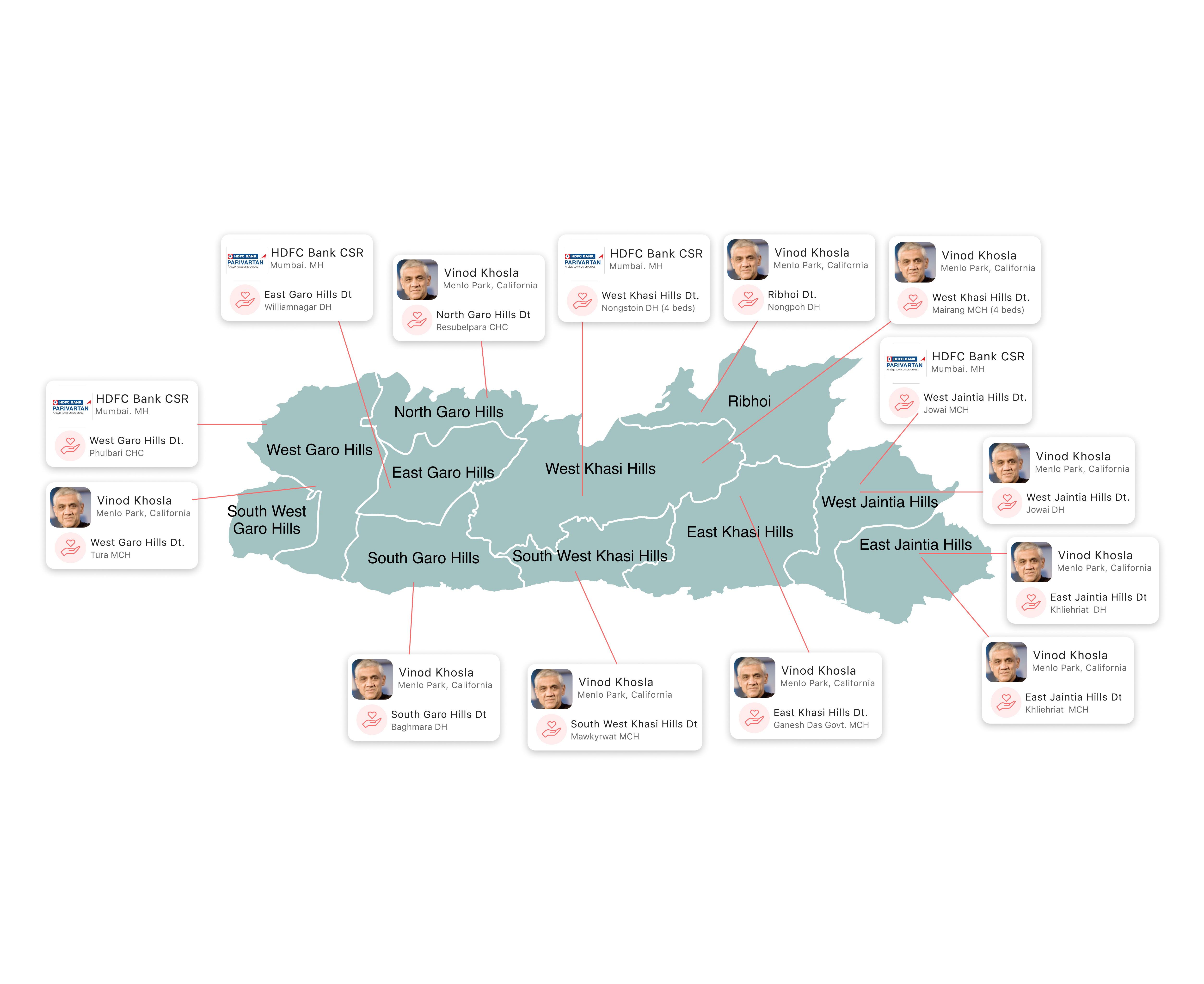
District Overview

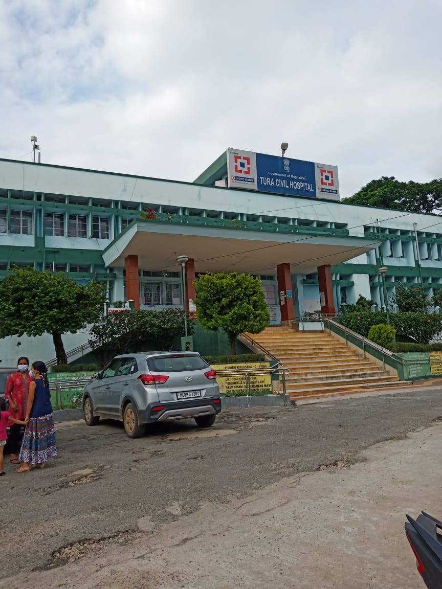
Williamnagar Civil Hospital, East Garo Hills Dt.
Shri. Raksin P. Marak, IAS
District Collector

HDFC Bank CSR
Donor
East Garo Hills District was upgraded from a sub-division to a full-fledged district in 1976, after the erstwhile Garo Hills District was reorganised with a view to bring the administration closer to the people. In 2012 East Garo Hills District was further reorganised to form a new district out of the erstwhile Resubelpara Sub-Division. The District is bounded by South Garo Hills on the south, West Garo Hills on the west, West Khasi Hills on the east and North Garo Hills on the north. The headquarter-complex, Williamnagar is a neatly planned township, christened after Captain Williamson A. Sangma, the first Chief Minister of the State of Meghalaya. Williamnagar now has all the amenities of a modern town and is the largest growth centre in Garo Hills, next to Tura.
Site
100% Completed
Space
Electrical
Internet
Oxygen
Equipment
100% Completed
Ordered
Delivered
Installed
Staff Trained
Technology
100% Completed
IT Staff Trained
Hospital Registration
In-Patient Treatment
Tele-ICU Live

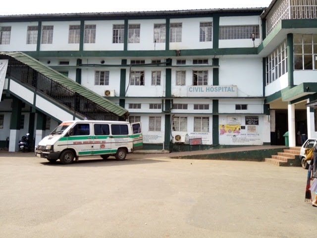
Khliehriat DH, East Jaintia Hills Dt.
.jpg)
Shri. Shivansh Awasthi, IAS
District Collector
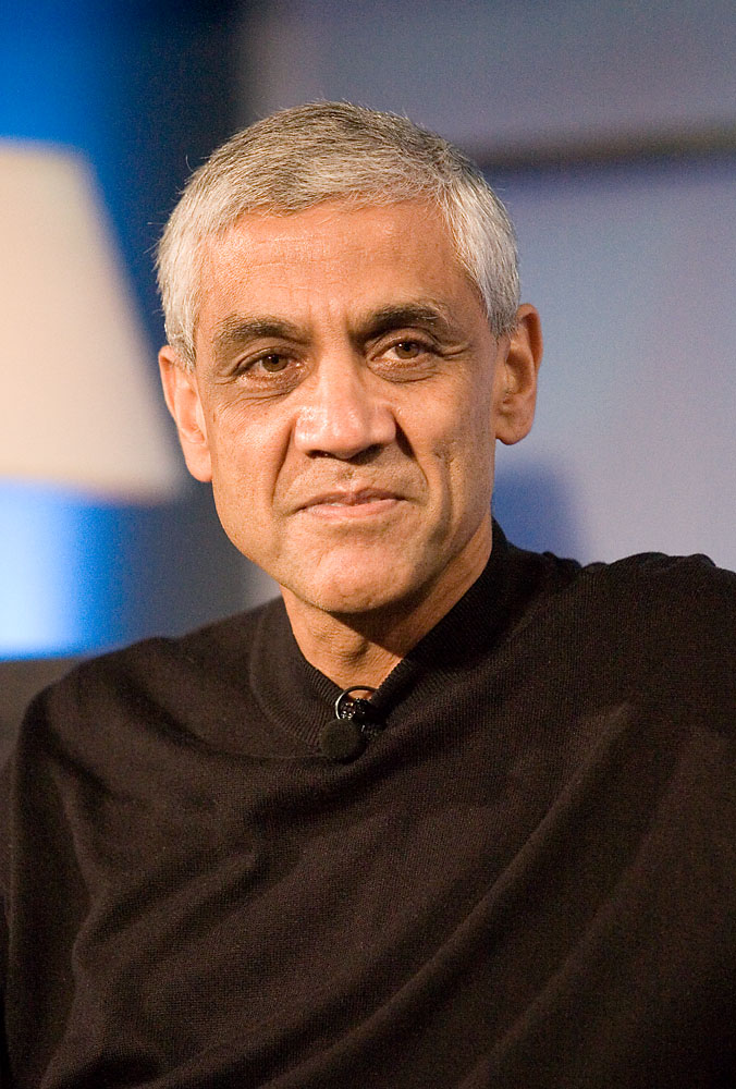
Vinod Khosla
Donor
East Jaintia Hills District is one of the eleven (11) districts of the state of Meghalaya. With the bifurcation of the erstwhile Jaintia Hills District into East and West Jaintia Hills Districts, East Jaintia Hills District came into existence on 31st July 2012 with its headquarters at Khliehriat.East Jaintia Hills is the home of one of the major tribes of the state of Meghalaya, popularly known as the ‘Jaintias’ or the ‘Pnars’, and other sub-tribes like the ‘Wars’ and the ‘Biates’. It comprises all the villages of two Community and Rural Development Blocks, viz., Saipung Community & Rural Development Block and Khliehriat Community & Rural Development Block.East Jaintia Hills District was upgraded from the erstwhile Khliehriat Civil Sub-Division. Prior to the establishment of the Sub-Division, there was an Administrative Unit set up on 14th August 1976 with the objective to bring administration closer to the people at the grass-root level. After five and a half years, the unit was upgraded into a full-fledged Civil Sub-Division on 27th May 1982 with the Sub-Divisional Officer as the administrative head, and then upgraded to a District on 31st July 2012 when the Government of Meghalaya took ample steps to create four more districts in 2012.East Jaintia Hills District is located at the easternmost part of Meghalaya. It covers an area of 2,040 sq. kms. It is bounded by Bangladesh in the South, North Cachar Hills District in the East, and West Jaintia Hills District in the North and West. Its distance from the state capital is 97 kms, and National Highway 44, connecting Shillong and the eastern part of Assam, passes through the district.
Site
100% Completed
Space
Electrical
Internet
Oxygen
Equipment
100% Completed
Ordered
Delivered
Installed
Staff Trained
Technology
100% Completed
IT Staff Trained
Hospital Registration
In-Patient Treatment
Tele-ICU Live
Khliehriat MCH, East Jaintia Hills Dt.
Shri. Shivansh Awasthi, IAS
District Collector
Vinod Khosla
Donor
East Jaintia Hills District is one of the eleven (11) districts of the state of Meghalaya. With the bifurcation of the erstwhile Jaintia Hills District into East and West Jaintia Hills Districts, East Jaintia Hills District came into existence on 31st July 2012 with its headquarters at Khliehriat.East Jaintia Hills is the home of one of the major tribes of the state of Meghalaya, popularly known as the ‘Jaintias’ or the ‘Pnars’, and other sub-tribes like the ‘Wars’ and the ‘Biates’. It comprises all the villages of two Community and Rural Development Blocks, viz., Saipung Community & Rural Development Block and Khliehriat Community & Rural Development Block.East Jaintia Hills District was upgraded from the erstwhile Khliehriat Civil Sub-Division. Prior to the establishment of the Sub-Division, there was an Administrative Unit set up on 14th August 1976 with the objective to bring administration closer to the people at the grass-root level. After five and a half years, the unit was upgraded into a full-fledged Civil Sub-Division on 27th May 1982 with the Sub-Divisional Officer as the administrative head, and then upgraded to a District on 31st July 2012 when the Government of Meghalaya took ample steps to create four more districts in 2012.East Jaintia Hills District is located at the easternmost part of Meghalaya. It covers an area of 2,040 sq. kms. It is bounded by Bangladesh in the South, North Cachar Hills District in the East, and West Jaintia Hills District in the North and West. Its distance from the state capital is 97 kms, and National Highway 44, connecting Shillong and the eastern part of Assam, passes through the district.
Site
100% Completed
Space
Electrical
Internet
Oxygen
Equipment
100% Completed
Ordered
Delivered
Installed
Staff Trained
Technology
100% Completed
IT Staff Trained
Hospital Registration
In-Patient Treatment
Tele-ICU Live
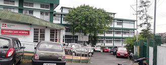
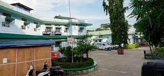
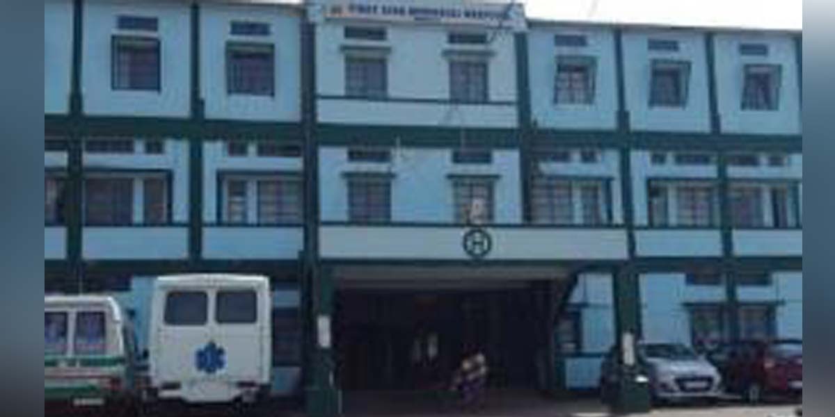
Ganesh Das Govt. MCH, East Khasi Hills Dt.
Smti. Rosetta Mary Kurbah, IAS
District Collector
Vinod Khosla
Donor
East Khasi Hills is an administrative district in the state of Meghalaya in India. Khasi (Ka Ktien Khasi) is an Austroasiatic language spoken primarily in Meghalaya state in India by the Khasi people. The district headquarters are located at Shillong. The district occupies an area of 2752 km² and has a population of 825,922. As of 2011 it is the most populous district of Meghalaya. The headquarters of the district, Shillong which is also the capital city of State, is connected to Guwahati and Silchar by NH 44 of 103 km and 240 km respectively. The nearest Rail head and airport are situated at Guwahati. There is an airstrip suitable for small aircraft at Umroi which is 35 km from Shillong. The agricultural and other products are transported by trucks, jeeps and tractors. Shillong is well connected with other parts of the State by motorable road. Similarly, all the block headquarters in the district are also connected by roads. However, the villages in the interior areas are poorly connected and transport services are inadequate.
Site
100% Completed
Space
Electrical
Internet
Oxygen
Equipment
100% Completed
Ordered
Delivered
Installed
Staff Trained
Technology
100% Completed
IT Staff Trained
Hospital Registration
In-Patient Treatment
Tele-ICU Live
Resubelpara CHC, North Garo Hills Dt.
Dr. Abhishek Saini, IAS
District Collector
Vinod Khosla
Donor
The district of North Garo Hills forms the Northern most part of the Garo Hills region of the state of Meghalaya and it is the gateway to the entire region as it shares a long border with the neighbouring state of Assam. The population is a mixture of indigenous Garo tribes along with other minor tribes comprising of Rabhas, Hajongs, Kacharis and Boros. The climate is sub tropical with adequate rainfall. The people are an ethnic mix of Indo-Burmese-Tibetan ancestry. The district occupies an area of 1,113 km² and has a population of 1,18,325.
Site
100% Completed
Space
Electrical
Internet
Oxygen
Equipment
100% Completed
Ordered
Delivered
Installed
Staff Trained
Technology
100% Completed
IT Staff Trained
Hospital Registration
In-Patient Treatment
Tele-ICU Live
Nongpoh Civil Hospital, Ribhoi Dt.
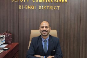
Shri. Abhilash Baranwal, IAS
District Collector
Vinod Khosla
Donor
Ri Bhoi District came into existence and assumed the hierarchical status of a District on the 4th of June, 1992, by upgrading the former Civil Sub-Division. The District was carved out from the erstwhile East Khasi Hills District. Nongpoh is the District headquarter and also that of Nongpoh Sirdarship.Ri Bhoi District contains an area of 2448.00 sq. kms, excluding the geographical areas under the erstwhile Nongwah Syiemship and other places which fall under the ‘Areas of Differences’ between Assam and Meghalaya.The Bhois of Ri Bhoi District are a sub-group of the main Khasi Tribe. The majority of the Bhois speak the Bhoi dialect, although they use the Khasi dialect as a major subject in their schools.In Ri Bhoi District, there are other groups of tribes, viz. Garos, who speak languages from the Tibeto–Burman group, whereas the Karbis, Marngars, Mikirs, Bodos, and Lalungs use Assamese as their lingua franca. Some also speak and write Khasi.The Bhois follow the matrilineal system. Children bear the title of the mother, and she is the safekeeper of all properties owned by her parents.
Site
100% Completed
Space
Electrical
Internet
Oxygen
Equipment
100% Completed
Ordered
Delivered
Installed
Staff Trained
Technology
100% Completed
IT Staff Trained
Hospital Registration
In-Patient Treatment
Tele-ICU Live
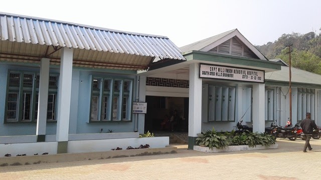
Baghmara Civil Hospital, South Garo Hills Dt.
Shri. Sumit Kumar Singh, IAS
District Collector
Vinod Khosla
Donor
The South Garo Hills district lies in the southern part of the state of Meghalaya, and was created on 18th June, 1992 . The district is hilly with difficult terrain with its headquarter at Baghmara, the only town in the district. It is bounded in the North by East Garo Hills, in the East by the west Khasi Hills district, in the West by West Garo Hills district and in the South by Bangladesh. Garo society is matrilineal, and inheritance is through the mother. All children, as soon as they are born, belong to their mother's ma'chong. The Garo tribe is divided into five exogamous divisions called Chatchis (sometimes rendered as Katchis). Two of these are relatively unimportant in that they include an insubstantial part of the population. There are several places in the district that can be developed for tourism. Some of them are of historical importance; others are important because of their association with the cultural traditions of the Garo people and many of them again have deservedly earned fame for their scenic beauty. Much of the area still remain untouched, retaining almost intact the original flora and fauna. Garo hills known for its abundance of wild life, should interest naturalists and photographers to capture the facts of life of animals and the flora and fauna.
Site
100% Completed
Space
Electrical
Internet
Oxygen
Equipment
100% Completed
Ordered
Delivered
Installed
Staff Trained
Technology
100% Completed
IT Staff Trained
Hospital Registration
In-Patient Treatment
Tele-ICU Live
Mawkyrwat 100 bedded/ MCH, South West Khasi Hills Dt.
Shri. Barnari Mawlong, IAS
District Collector
Vinod Khosla
Donor
The South West Khasi Hills district was carved out of the West Khasi Hills district on 3 August 2012. The district headquarters is located at Mawkyrwat. The district occupies an area of 1,341 km². The district is compose all the villages of two Community & Rural Development Blocks viz. Ranikor and Mawkyrwat are Community & Rural Development Block, including 18 (Eighteen) Villages under Warsan Lyngdoh Gram Sevak Circle of Nongstoin in Community & Rural Development Block.
Site
100% Completed
Space
Electrical
Internet
Oxygen
Equipment
100% Completed
Ordered
Delivered
Installed
Staff Trained
Technology
100% Completed
IT Staff Trained
Hospital Registration
In-Patient Treatment
Tele-ICU Live
Tura MCH, West Garo Hills Dt.
Shri. Vibhor Aggarwal, IAS
District Collector
Vinod Khosla
Donor
West Garo Hills is one of the largest district of Meghalaya located in the western part of the State. The Garo Hills district was divided into two districts, viz the West Garo Hills district and the East Garo Hills district in October 1976. The erstwhile West Garo Hills district was further divided into two administrative districts of West and South Garo Hills on June 1992. The district headquarters of West Garo Hills is Tura, which is the second largest town in the State after Shillong. The West Garo Hills district lies on the western part of the state of Meghalaya bounded by the East Garo Hills district on the east, the South Garo Hills on the south-east, the Goalpara district of Assam on the north and north-west and Bangladesh on the south. West Garo Hills district is pre-dominantly inhabited by the Garos, a tribe with a matrilineal society belonging to the Bodo family of the Tibeto-Burman race tribes. Other indigenous inhabitants are the Hajongs, Rabhas, Koches, Rajbansis, Meches, Kacharis and Dalus. The district is also inhabited by Bengalis, Assamese, Nepalese, Marwaries, Biharis and people from other parts of India.
Site
100% Completed
Space
Electrical
Internet
Oxygen
Equipment
100% Completed
Ordered
Delivered
Installed
Staff Trained
Technology
100% Completed
IT Staff Trained
Hospital Registration
In-Patient Treatment
Tele-ICU Live
Phulbari CHC, West Garo Hills Dt.
Shri. Vibhor Aggarwal, IAS
District Collector
HDFC Bank CSR
Donor
West Garo Hills is one of the largest district of Meghalaya located in the western part of the State. The Garo Hills district was divided into two districts, viz the West Garo Hills district and the East Garo Hills district in October 1976. The erstwhile West Garo Hills district was further divided into two administrative districts of West and South Garo Hills on June 1992. The district headquarters of West Garo Hills is Tura, which is the second largest town in the State after Shillong. The West Garo Hills district lies on the western part of the state of Meghalaya bounded by the East Garo Hills district on the east, the South Garo Hills on the south-east, the Goalpara district of Assam on the north and north-west and Bangladesh on the south. West Garo Hills district is pre-dominantly inhabited by the Garos, a tribe with a matrilineal society belonging to the Bodo family of the Tibeto-Burman race tribes. Other indigenous inhabitants are the Hajongs, Rabhas, Koches, Rajbansis, Meches, Kacharis and Dalus. The district is also inhabited by Bengalis, Assamese, Nepalese, Marwaries, Biharis and people from other parts of India.
Site
100% Completed
Space
Electrical
Internet
Oxygen
Equipment
100% Completed
Ordered
Delivered
Installed
Staff Trained
Technology
100% Completed
IT Staff Trained
Hospital Registration
In-Patient Treatment
Tele-ICU Live
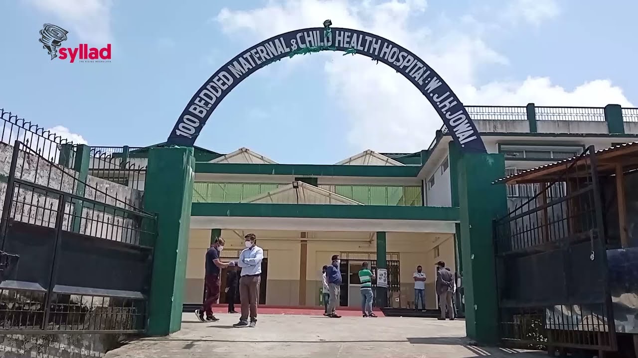
Jowai MCH, West Jaintia Hills Dt.
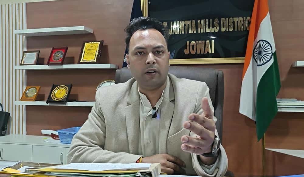
Shri. Abhinav Kumar Singh, IAS
District Collector
HDFC Bank CSR
Donor
West Jaintia Hills District is one of the 11 (eleven) districts of the state of Meghalaya. With the bifurcation of the erstwhile Jaintia Hills District into East and West Jaintia Hills District, West Jaintia Hills District came into existence on 31st July 2012, with its Headquarter at Jowai. Jowai is the host of all the heads of important governmental offices and establishments, educational institutions, hospitals, banking institutions, etc.The total area of the district is 1693 sq. kms. The district comprises of 1 (one) Civil Sub-Division, viz. Amlarem Civil Sub-Division, and 3 (three) Community and Rural Development Blocks, viz. Amlarem C&RD Block, Laskein C&RD Block, and Thadlaskein C&RD Block.West Jaintia Hills District is the home of one of the major tribes of Meghalaya, popularly known as the ‘Jaintias’ or the ‘Pnars’, and other sub-tribes like the Wars, the ‘Bhois’, and the ‘Biates’. Like the Khasis, the Jaintias are believed to be remnants of the first Mongolian overflow into India. They established themselves in their present homeland in the remote past and, owing primarily to their geographical isolation, they succeeded in maintaining their independence until the consolidation of the British administration in this part of India.
Site
100% Completed
Space
Electrical
Internet
Oxygen
Equipment
100% Completed
Ordered
Delivered
Installed
Staff Trained
Technology
100% Completed
IT Staff Trained
Hospital Registration
In-Patient Treatment
Tele-ICU Live
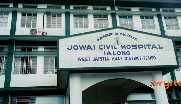
Jowai DH, West Jaintia Hills Dt.

Shri. Abhinav Kumar Singh, IAS
District Collector
Vinod Khosla
Donor
West Jaintia Hills District is one of the 11 (eleven) districts of the state of Meghalaya. With the bifurcation of the erstwhile Jaintia Hills District into East and West Jaintia Hills District, West Jaintia Hills District came into existence on 31st July 2012, with its Headquarter at Jowai. Jowai is the host of all the heads of important governmental offices and establishments, educational institutions, hospitals, banking institutions, etc.The total area of the district is 1693 sq. kms. The district comprises of 1 (one) Civil Sub-Division, viz. Amlarem Civil Sub-Division, and 3 (three) Community and Rural Development Blocks, viz. Amlarem C&RD Block, Laskein C&RD Block, and Thadlaskein C&RD Block.West Jaintia Hills District is the home of one of the major tribes of Meghalaya, popularly known as the ‘Jaintias’ or the ‘Pnars’, and other sub-tribes like the Wars, the ‘Bhois’, and the ‘Biates’. Like the Khasis, the Jaintias are believed to be remnants of the first Mongolian overflow into India. They established themselves in their present homeland in the remote past and, owing primarily to their geographical isolation, they succeeded in maintaining their independence until the consolidation of the British administration in this part of India.
Site
100% Completed
Space
Electrical
Internet
Oxygen
Equipment
100% Completed
Ordered
Delivered
Installed
Staff Trained
Technology
100% Completed
IT Staff Trained
Hospital Registration
In-Patient Treatment
Tele-ICU Live
Nongstoin DH / CHWest Khasi Hills Dt.
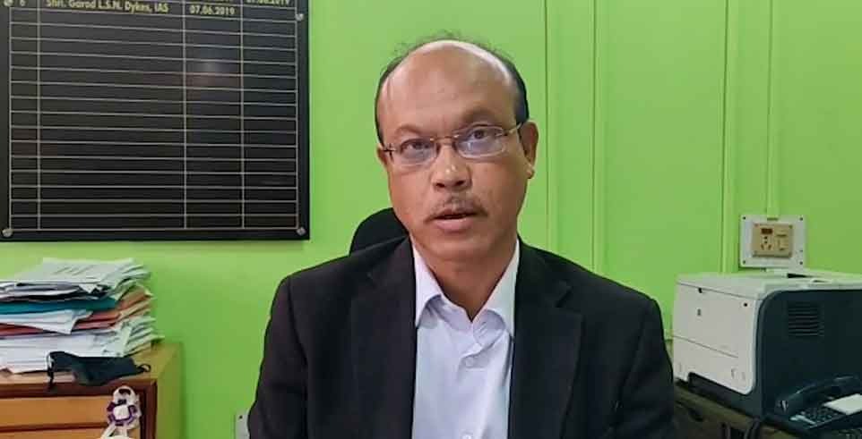
Shri. Garod LSN Dykes, IAS
District Collector
HDFC Bank CSR
Donor
West Khasi Hills District was carved out of the state of Meghalaya in the year 1976 on the 28 day of October which in fact is the largest of all the eleven districts in the state of Meghalaya and since its existence, it has been bifurcated into two Civil Sub-divisions and a new district in South West Khasi Hills. It spreads through the heart of the state running high with plateau ranges and low with rich plain lands. The District lies in the central part of the State of Meghalaya. It is bounded on the north-west by Kamrup district of Assam, on the north-east by Ri Bhoi district, on the east by East Khasi Hills district, on the south by Bangladesh and South West Khasi Hills district, the erstwhile Mawkyrwat Civil Sub division, on the west by East Garo and South Garo Hills districts. The district comprises an area of about 3911.22 sq.kms which is about 17 percent of the total area of the state. Nongstoin, covering an area of about 76.00 Sq. Kms, is the Headquarter of the District.
Site
100% Completed
Space
Electrical
Internet
Oxygen
Equipment
100% Completed
Ordered
Delivered
Installed
Staff Trained
Technology
100% Completed
IT Staff Trained
Hospital Registration
In-Patient Treatment
Tele-ICU Live
Mairang MCH / CH, West Khasi Hills Dt.
Shri. Garod LSN Dykes, IAS
District Collector

Vinod Khosla
Donor
North Sikkim is the largest in four districts of Sikkim. The landscape is mountainous with dense vegetation to the alpine height before the southern tundra, before leaving the desert. Many waterfalls surrounded by the main road make visit to this district very beautiful. It occupies area of 4226 square. Km and has population of 43,709. The district has 120 nos of villages. The languages spoken by the people are Nepali, Bhutia & Lepcha
Site
100% Completed
Space
Electrical
Internet
Oxygen
Equipment
100% Completed
Ordered
Delivered
Installed
Staff Trained
Technology
100% Completed
IT Staff Trained
Hospital Registration
In-Patient Treatment
Tele-ICU Live